01
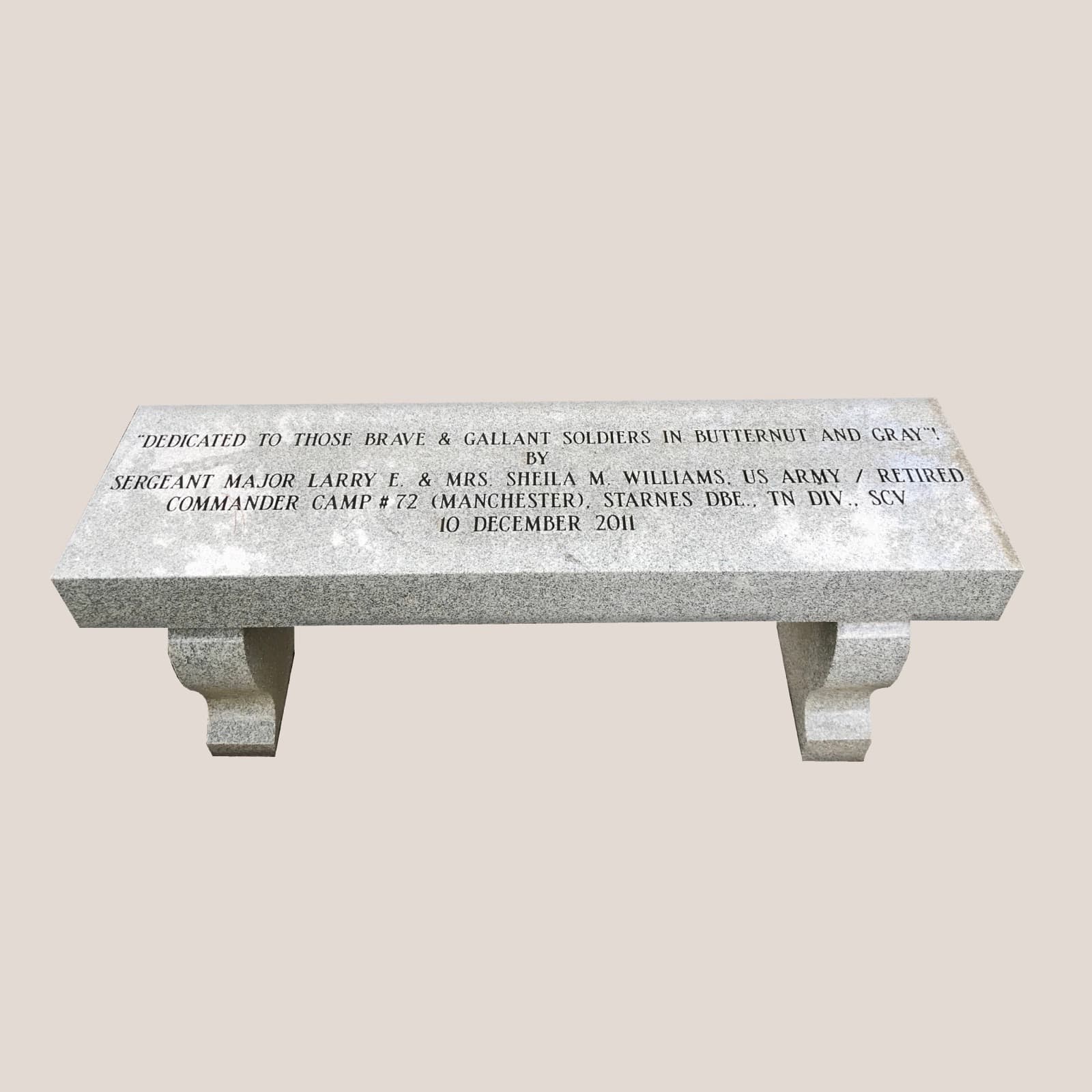
Dedicated to the Soldiers
SGM Larry E. & Sheila M. Williams; SCV Camp #72, Manchester (2011)
Dedicated to those brave and gallant soldiers in butternut and gray.
📍 Wartrace Memorial Park, Spring St. (TN 269) at Bridgeview St.
Cradle of the Tennessee Walking Horse
The little town where time stands still
A self-guided tour
Eleven markers tell Wartrace's story — most within a short walk of Memorial Park at Spring and Bridgeview Streets. Read them here, then go stand where it happened.
SGM Larry E. & Sheila M. Williams; SCV Camp #72, Manchester (2011)
Dedicated to those brave and gallant soldiers in butternut and gray.
📍 Wartrace Memorial Park, Spring St. (TN 269) at Bridgeview St.
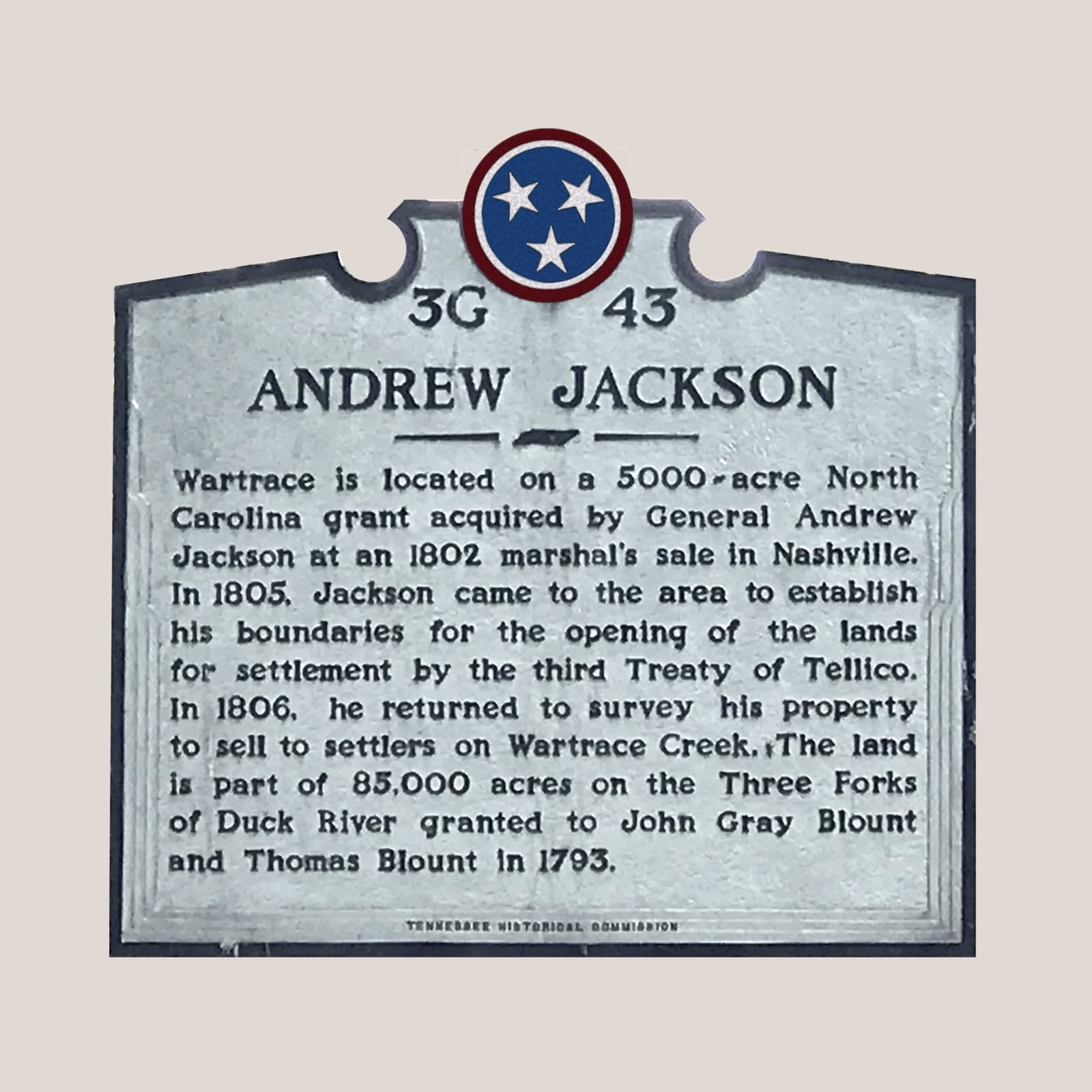
Marker 3G 43 · Tennessee Historical Commission
Wartrace is located on a 5,000-acre North Carolina grant acquired by General Andrew Jackson at an 1802 marshal's sale in Nashville. In 1805, Jackson came to the area to establish his boundaries for the opening of the lands for settlement by the third Treaty of Tellico. In 1806, he returned to survey his property to sell to settlers on Wartrace Creek.
📍 Wartrace Memorial Park, Spring St. east of Bridgeview St.
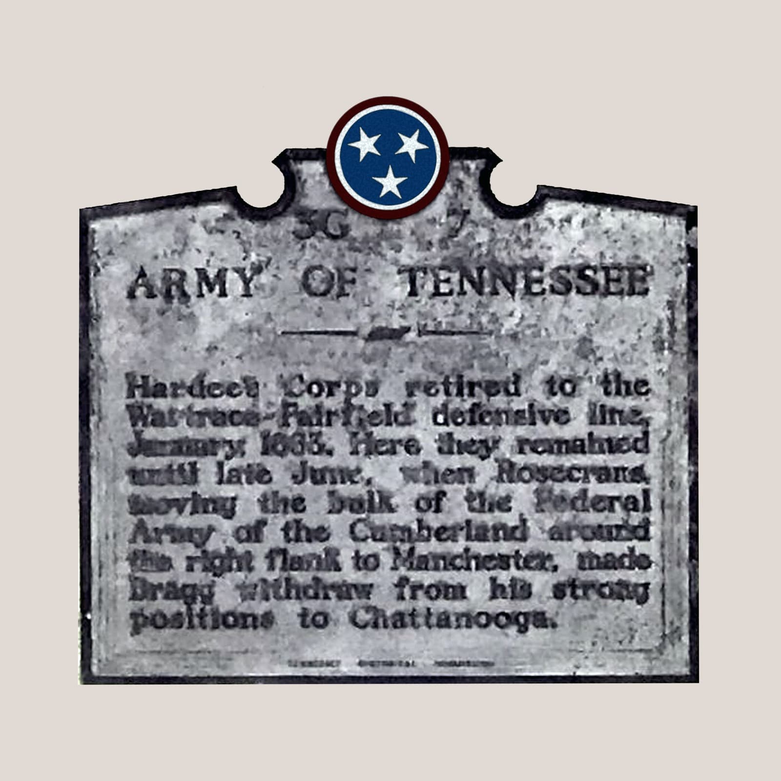
Marker 3G 7 · Tennessee Historical Commission
Hardee's Corps retired to the Wartrace–Fairfield defensive line, January 1863. Here they remained until late June, when Rosecrans, moving the bulk of the Federal Army of the Cumberland around the right flank to Manchester, made Bragg withdraw from his strong positions to Chattanooga.
📍 TN Route 64, half a mile west of Fairfield Pike
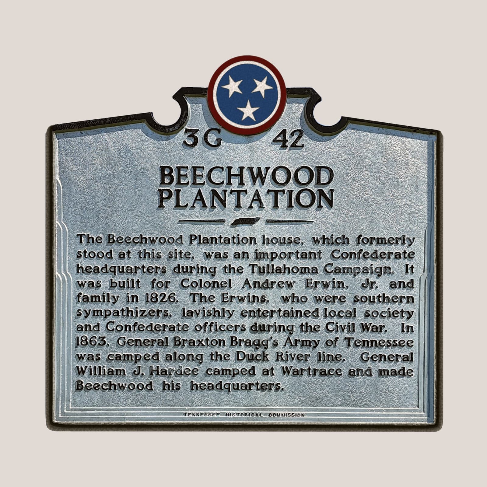
Marker 3G 42 · Tennessee Historical Commission
The Beechwood Plantation house, which formerly stood at this site, was an important Confederate headquarters during the Tullahoma Campaign. Built for Col. Andrew Erwin Jr. in 1826. In 1863, Gen. William J. Hardee camped at Wartrace and made Beechwood his headquarters.
📍 Cortner Road (County Route 269)
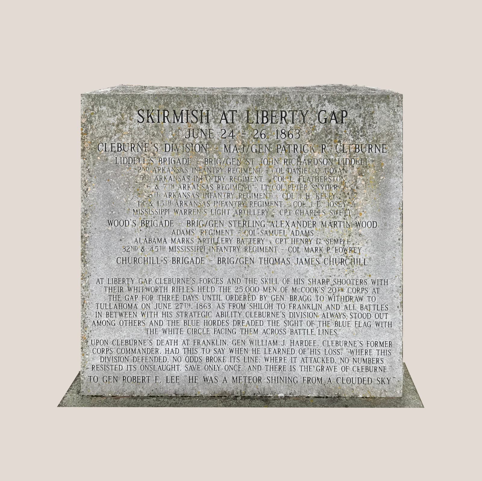
SCV Camp #72, Manchester (2011)
At Liberty Gap, Cleburne's forces and the skill of his sharpshooters with their Whitworth rifles held the 25,000 men of McCook's 20th Corps at the gap for three days, until ordered by Gen. Bragg to withdraw to Tullahoma on June 27, 1863.
📍 Wartrace Memorial Park, Spring St. (TN 269) at Bridgeview St.
Marker 3G 45 · Tennessee Historical Commission
In April 1862, Major James M. Shanklin with 197 men of the 42nd Indiana Infantry camped on the west bank of Wartrace Creek to guard two railroad bridges. Early on April 11, 1862, Colonel James W. Starnes of the 8th Tennessee Cavalry Battalion attacked the camp with 200 Confederates. Several men on both sides were killed and wounded.
📍 Winnette-Ayers Park, Bridgeview St.
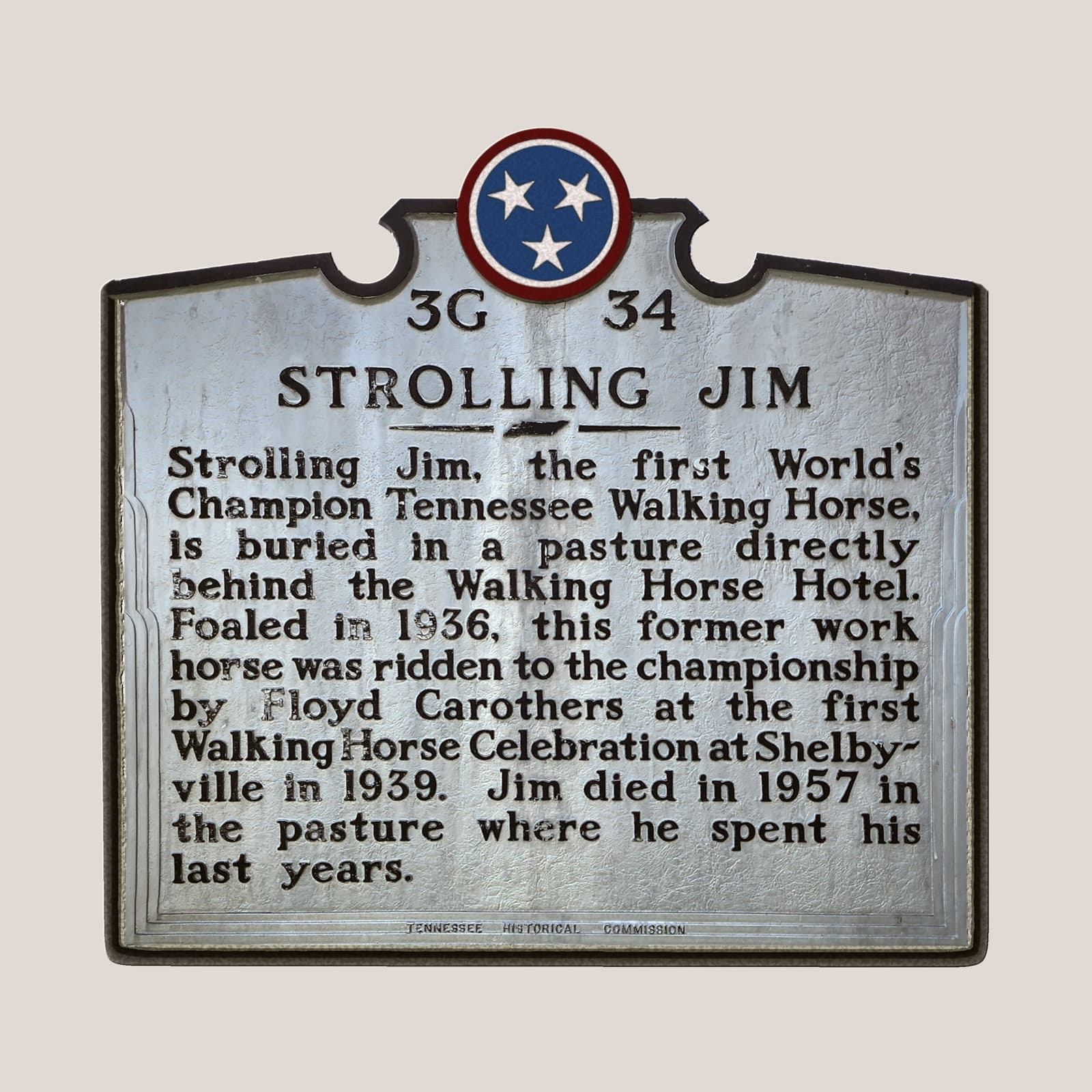
Marker 3G 34 · Tennessee Historical Commission
Strolling Jim, the first World's Champion Tennessee Walking Horse, is buried in a pasture directly behind the Walking Horse Hotel. Foaled in 1936, this former work horse was ridden to the championship by Floyd Carothers at the first Walking Horse Celebration at Shelbyville in 1939. Jim died in 1957 in the pasture where he spent his last years.
📍 Blackman Blvd. West (Hwy 64) near Spring St.
Tennessee Backroads Heritage
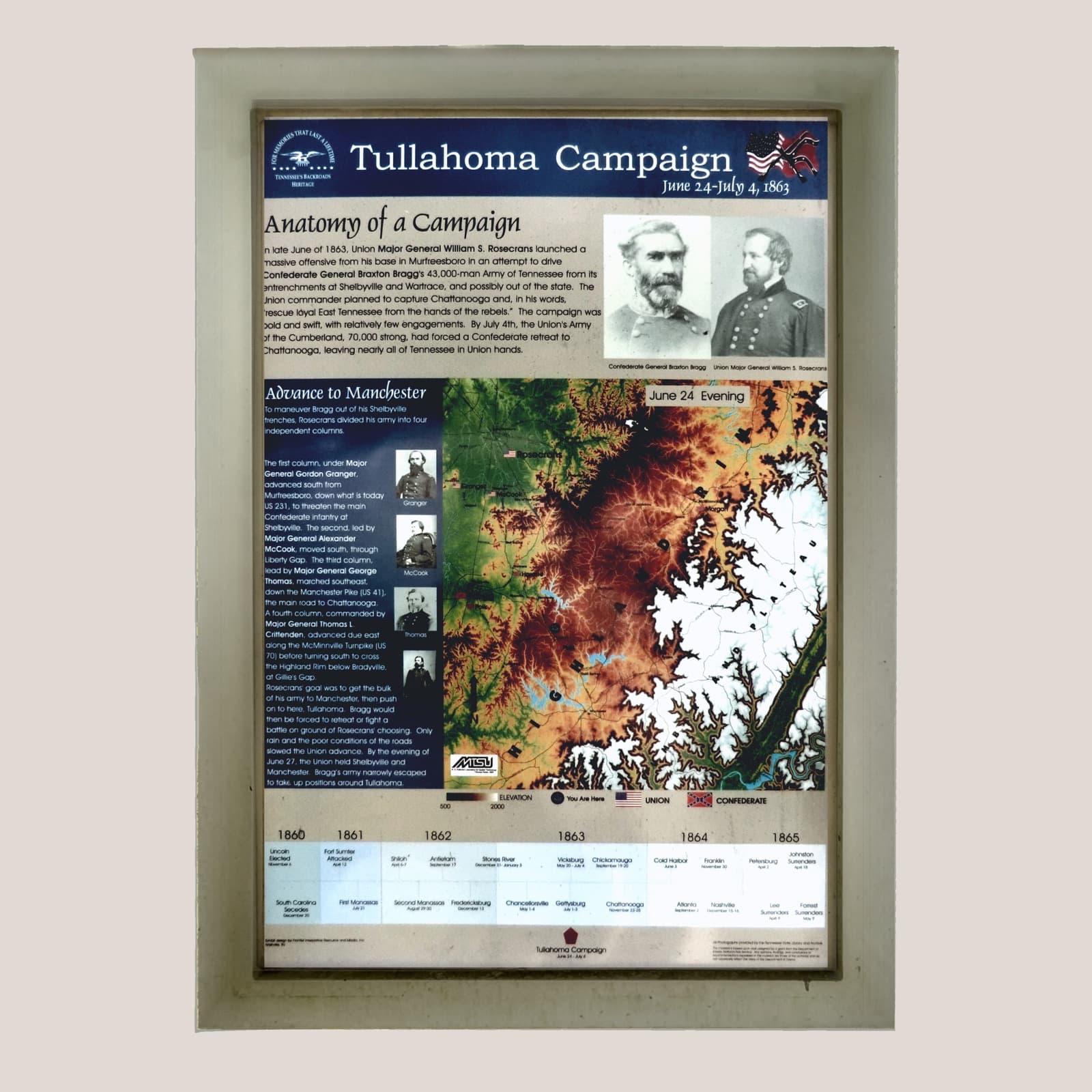
In late June of 1863, Union Maj. Gen. William S. Rosecrans launched a massive offensive to drive Gen. Braxton Bragg's 43,000-man Army of Tennessee from its entrenchments at Shelbyville and Wartrace. By July 4th, the 70,000-strong Army of the Cumberland had forced a Confederate retreat to Chattanooga, leaving nearly all of Tennessee in Union hands.
📍 Wartrace Memorial Park, Spring St. (TN 269) at Bridgeview St.
Tennessee Backroads Heritage
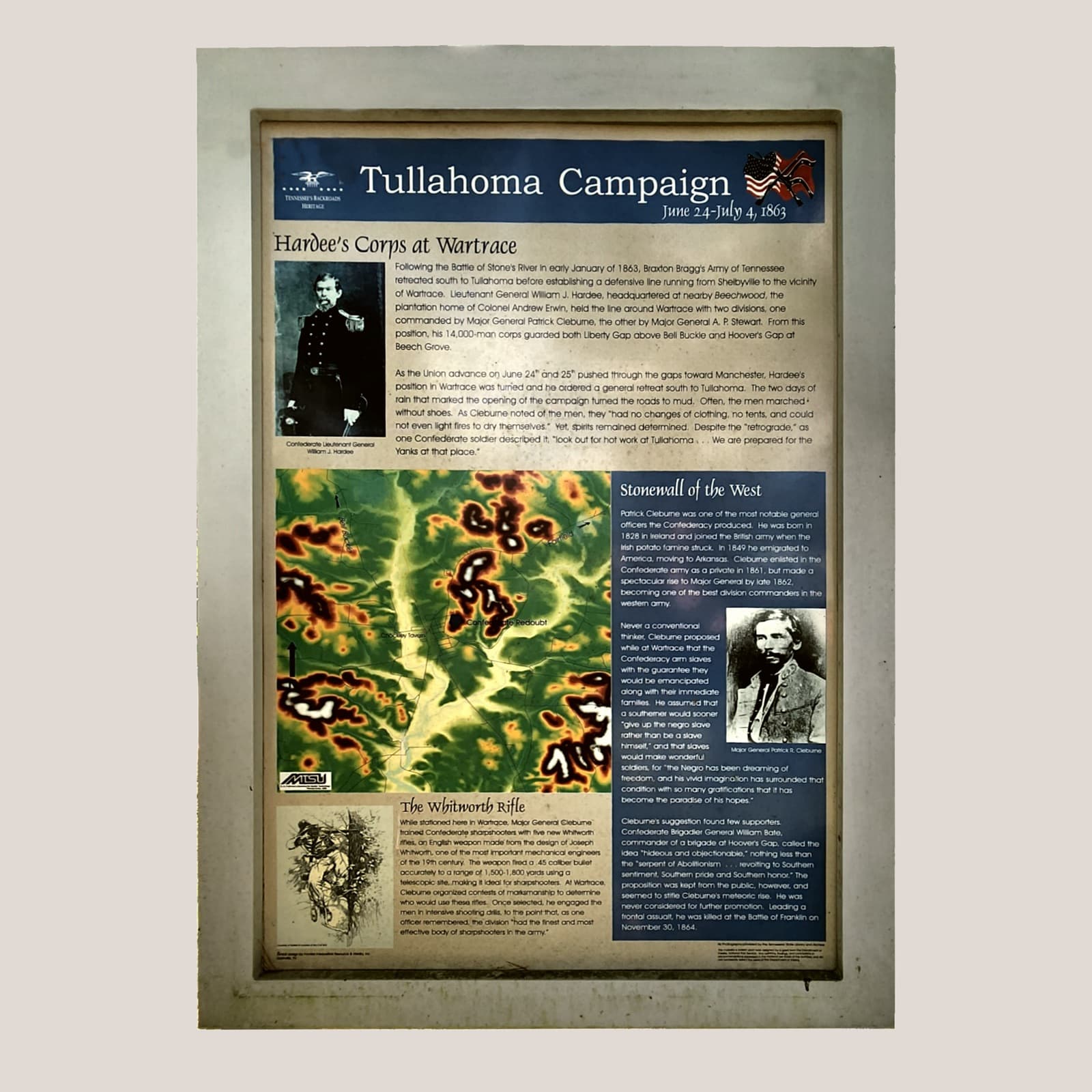
Lt. Gen. William J. Hardee, headquartered at nearby Beechwood, held the line around Wartrace with two divisions guarding Liberty Gap and Hoover's Gap. While stationed in Wartrace, Maj. Gen. Patrick Cleburne — the 'Stonewall of the West' — trained Confederate sharpshooters with five new Whitworth rifles, accurate to 1,500–1,800 yards, organizing marksmanship contests to choose who would carry them.
📍 Wartrace Memorial Park, Spring St. (TN 269) at Bridgeview St.
U.S. Department of the Interior
Built 1835. Placed on the National Register of Historic Places by the United States Department of the Interior.
📍 Potts Road, 1.3 miles south of TN Route 64
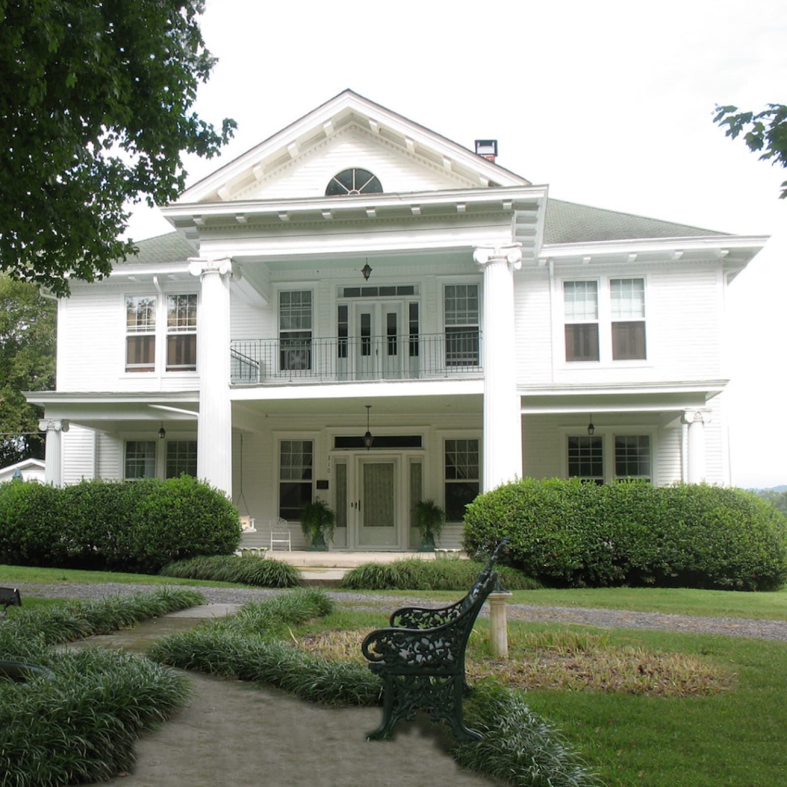
Marker 3G 44 · Tennessee Historical Commission
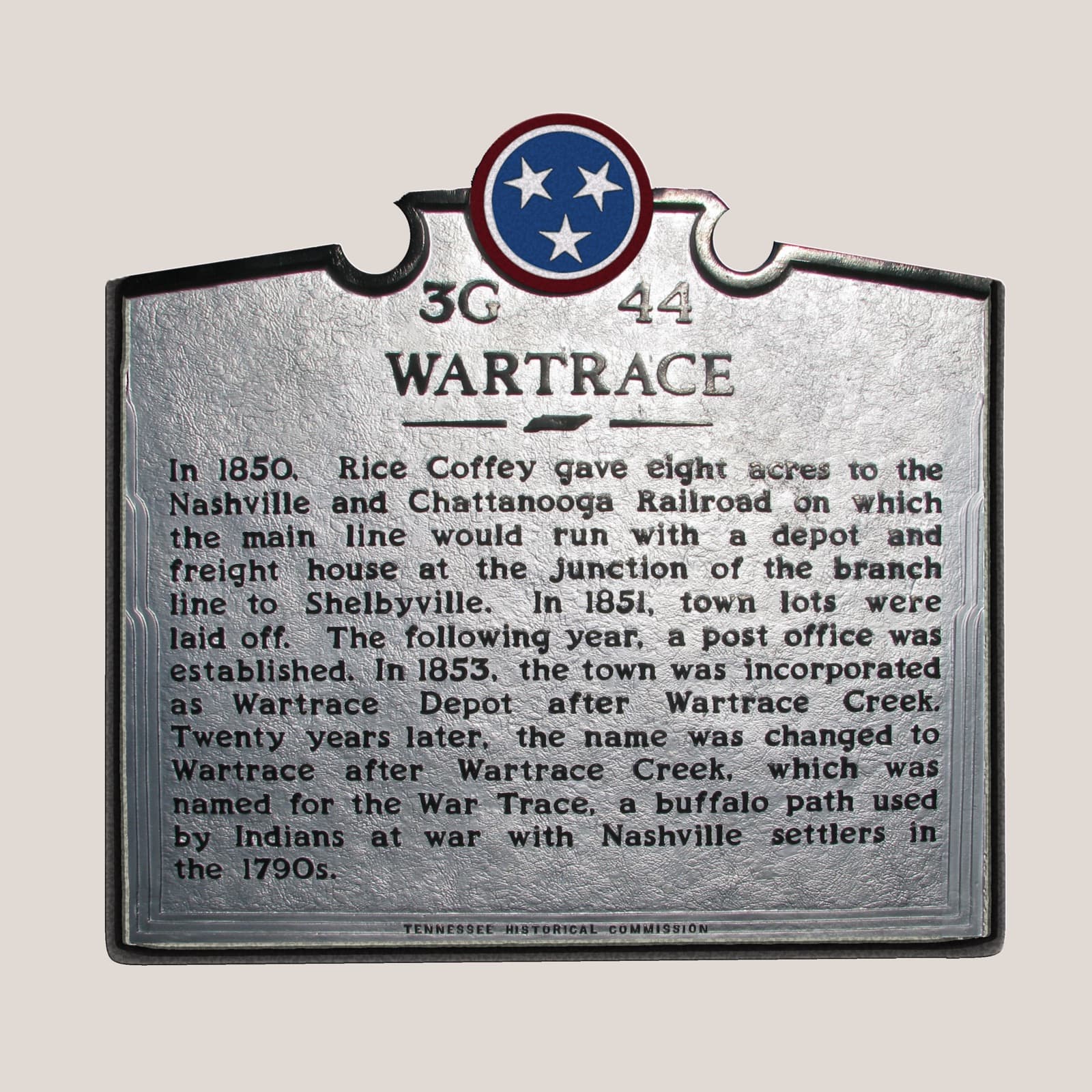
In 1850, Rice Coffey gave eight acres to the Nashville and Chattanooga Railroad on which the main line would run, with a depot and freight house at the junction of the branch line to Shelbyville. In 1851, town lots were laid off. The following year, a post office was established. In 1853, the town was incorporated as Wartrace Depot after Wartrace Creek. Twenty years later, the name was changed to Wartrace — for the War Trace, a buffalo path used by Indians at war with Nashville settlers in the 1790s.
📍 Blackman Blvd. (TN Route 64)
Marker locations and inscriptions are also catalogued at the Historical Marker Database. Make a day of it — start at Memorial Park, and plan lunch on Main Street.